Climate Havens: The Protection Paradox
Disaster Response, Community Data, Tool Building
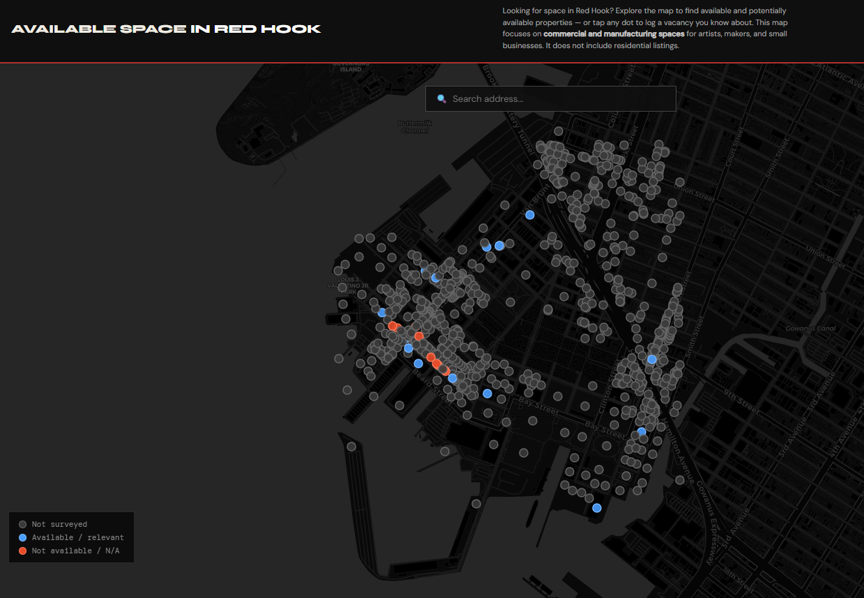
Red Hook Available Space Map
In January 2026, two warehouse fires on Van Brunt Street displaced over 120 businesses, artists, and makers from Red Hook's manufacturing corridor. There was no map, no list, no way for displaced tenants and available landlords to find each other. I built one.
Starting from NYC PLUTO parcel data and a Google Sheet, I designed and shipped a collaborative web tool that lets the Red Hook Business Alliance track vacancy in real time, log field observations, and surface available commercial and manufacturing space to the public. The map is crowdsourced — anyone can submit what they know about a property — and updated live from a shared backend the RHBA team manages without any technical knowledge.